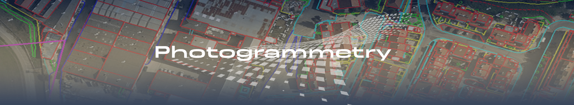
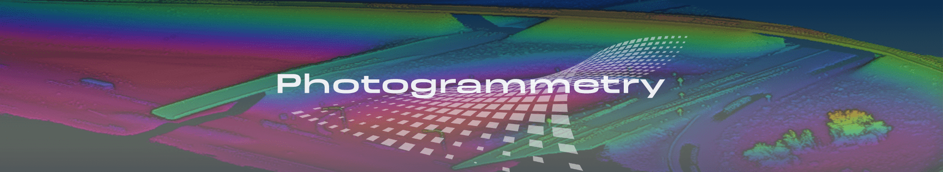
Photogrammetry
Photogrammetry is a process to obtain reliable information and measurements of physical objects from photographs and use them for the development of maps, drawings, or 3D models of terrains.
Photogrammetry Services
Aerial images require pre-and post-processing using Photogrammetry before they can be used to extract valuable geo-data. Our advanced photogrammetry division enables us to capture data from small to large scale stereo models and generate digital topographic maps of high precision.
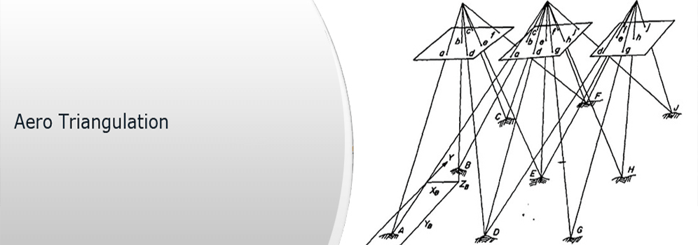
Aerial Triangulation
Aerial Triangulation is the method of determining and calculating a 3-dimensional object coordinated by photogrammetric means, by using photographs exposed from different positions, covering the same object. With aerial triangulation, we can be able to calculate 3-dimensional coordinates for object elements on almost any object. Ground Control points are basic requirements for aerial triangulation.

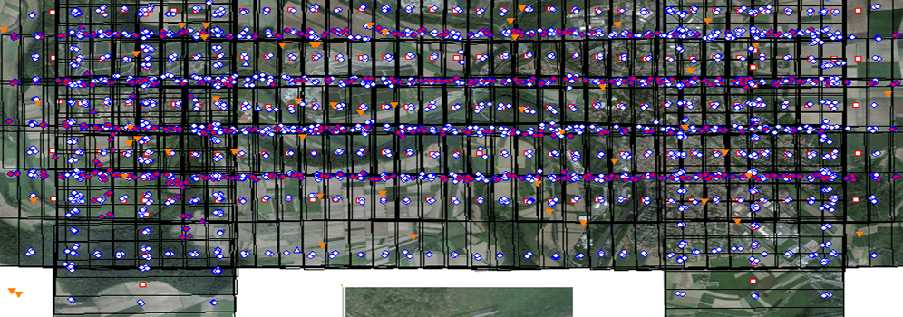
Required areas for the execution of Aerial triangulation:
- Line map of the project area showing flight lines.
- Project boundaries.
- Control point locations and identification numbers.
- Description of Ground Control Points with coordinates.
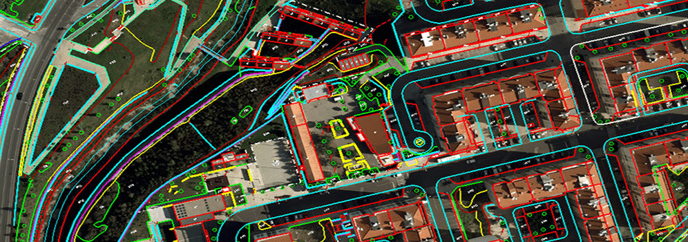
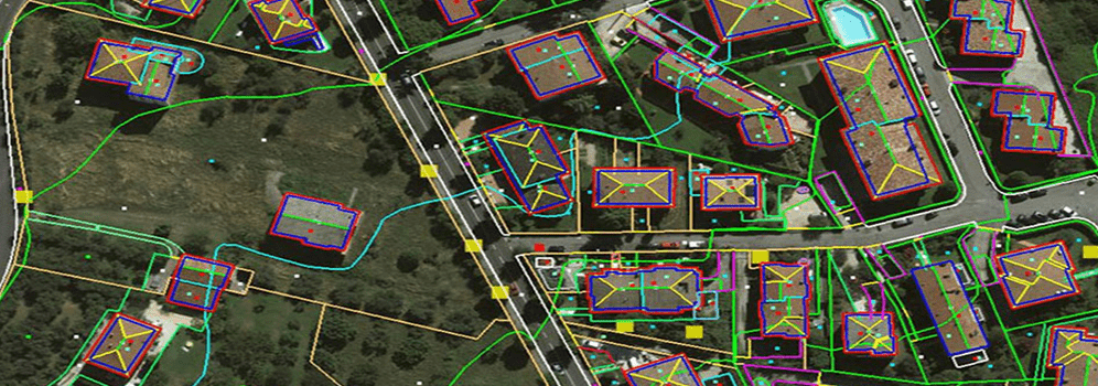
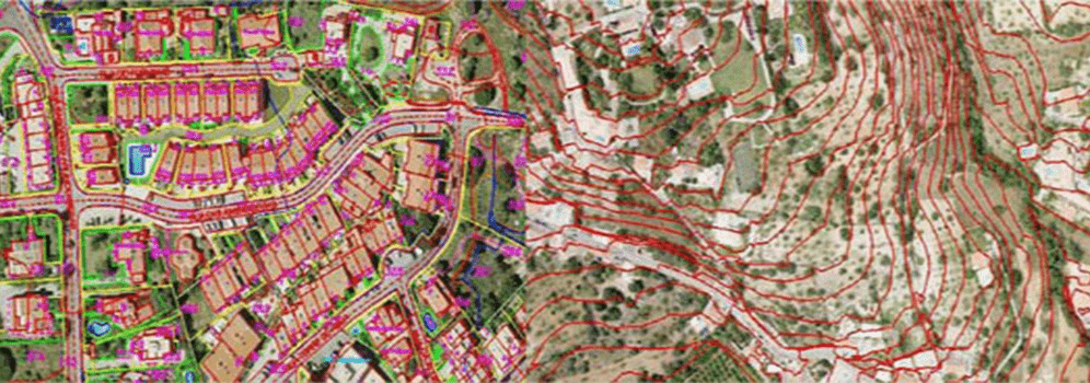
Planimetry
Planimetry is a horizontal feature on a plane surface without elevation contours to depict the terrain, wherein topographic mapping contours and elevations are vital parts. Our advanced photogrammetry division enables us to capture data from small to large scale stereo models and generate digital topographic maps of high precision.
Our Planimmetry Services include:
- Different scale Planimmetry Mapping.
- Topography Mapping
- Golf course Mapping
- Altimetry Mapping
- Manual contour Mapping
- Water reservation Mapping
- Hydrological Mapping
- Road corridor Mapping
- Mining Mapping
- Utility Mapping
- Land use development Mapping
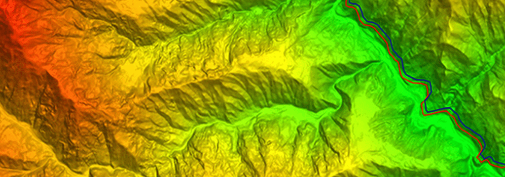
DTM / DEM
A digital elevation model (DEM) can contain pixels with failed or incorrect values. We can edit a DEM to smooth out such irregularities to create a more accurate model and, in turn, generate more accurate orthorectified images while a DSM represents the elevation surface, including objects, such as buildings and trees, whereas a DTM represents a bare-Earth elevation surface.


There are certain parameters which are followed at the time of delivery:
- Interpolation of height at any terrain point.
- Plots of contours with user-specified contour intervals.
- Generation of longitudinal and cross section profiles.
- Plots of isometric and perspective images.
- Volume calculations, including computation of cut and fill
Orthophoto Generation
Orthophoto requires Thermal Imagery Processing, RGB & CIR Orthophotographs and Black & White Orthophotographs. It allows precise calculation of planimetric distances with a real-life representation of ground areas. Orthorectification allows element such as roads, plan views of buildings, railway lines, woodland, rivers and lakes etc. to be positioned accurately in two-dimensional maps.
Our Orthophoto generation Services include:
- Multi sensor image fusion.
- Plots of contours with user-specified contour intervals.
- Color balancing and image mosaicing
- Object based image classification
- Seamline editing and
- Tile cutting